Race bulletin
Schedule
- Reception: At the arena from 8:00
- First start: 9:30
- Courses close: 3 hours after the last start
- Provisional results: https://liveresultat.orientering.se
Location
Stage 1 will take place in the forest of Les Premiers Sapins.
Click the map icon to open the location in Google Maps :
Open location in Google Maps
Race format
- Race type: Long distance
- National ranking event
- Map format: A4
- Map scale: 1:10,000 - 1:7,500
- Map available on Livelox after the race:

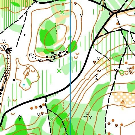
Map extract
Signposting
Start of signposting: 47.097906, 6.343131 Open in Google Maps
Race information
- Parking – Arena: 100 to 1000 m
- Arena – Start: 2000 m
- Finish – Arena: 2000 m
Special instructions / Additional information
A few dry toilets will be available at the start (near the houses). Please respect the area and the neighbours.
- Cartographer: Franck Dechavanne
- Course planner: Alain Pourre
- Controller: Valentin Chareyre / Trainee controller: Pascal Bourdarie
- Referee: Eloise Louvet
- Federal delegate: Denis Geneves
Embargoed areas
Information regarding embargoed areas and zones forbidden for reconnaissance is available on the French Orienteering Federation website. Participants must comply with these restrictions.