Race bulletin
Schedule
- Reception: At the arena from 8:00
- First start: 9:30
- Courses close: 3 hours after the last start
- Provisional results: https://liveresultat.orientering.se
Location
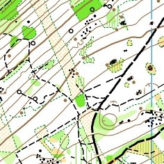
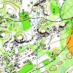
Stage 2 will take place on a more compact, punchy terrain around Naisey-les-Granges.
Click the map icon to open the location in Google Maps :
Open Stage 2 location in Google Maps
Race format
- Race type: Middle distance
- National ranking event
- Map format: A4
- Map scale: 1:10,000 - 1:7,500
- Map available on Livelox after the race:

Signposting
Start of signposting: 47.197285, 6.274959 Open in Google Maps
Race information
Distance information will be provided later on this page.
- Parking – Arena: 0 m
- Arena – Start: 2500 m
- Finish – Arena: 0 m
Special instructions / Additional information
A few dry toilets will be available at the start (near the houses). Please respect the area and the neighbours.
- Cartographer: Michel DUBOC
- Course planner: Eddye WYMER
- Controller: Philippe POGU
- Referee: Bernard MORTELIER
- Federal delegate: Denis Geneves
Embargoed areas
Information regarding embargoed areas and zones forbidden for reconnaissance is available on the French Orienteering Federation website. Participants must comply with these restrictions.